


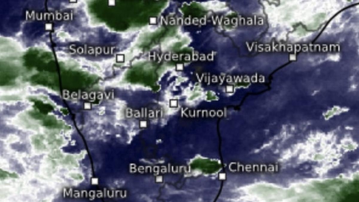
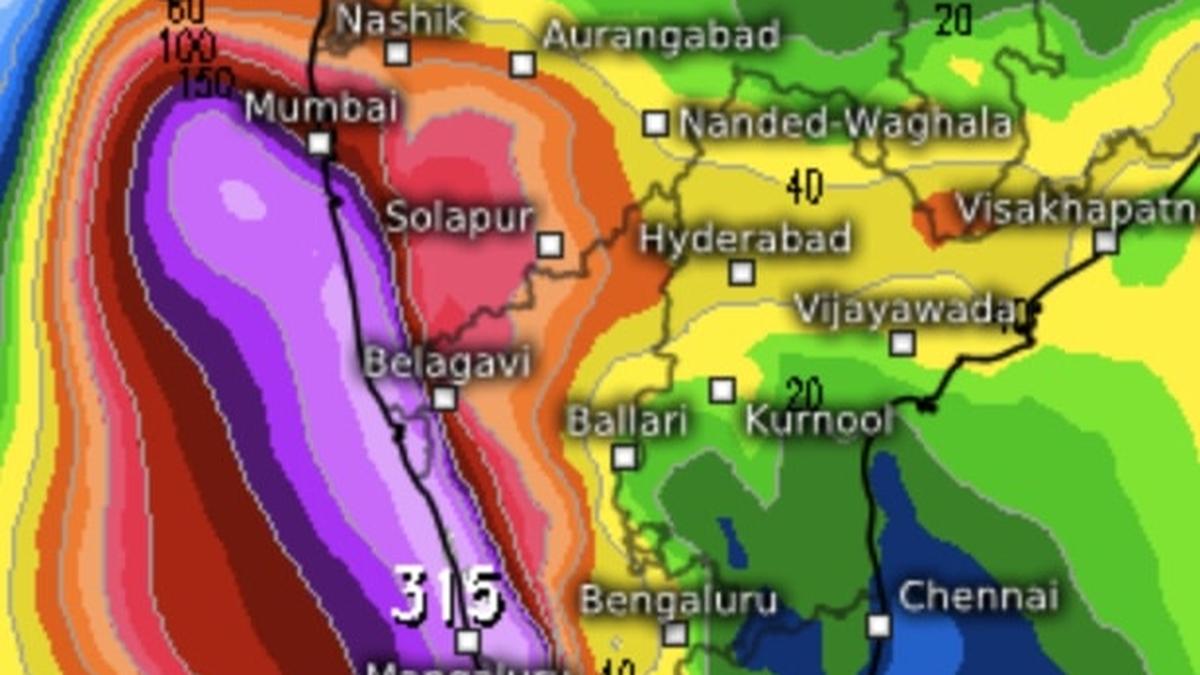
Isolated extremely heavy rain has been forecast over Konkan & Goa and Madhya Maharashtra on Wednesday and Thursday, and Gujarat Region (North Gujarat, Gandhinagar and South Gujarat) on Thursday as a low-pressure area from West-Central Bay of Bengal appeared to have crossed Andhra Pradesh coast and perched over Coastal Andhra Pradesh and Rayalaseema.
The late-season ‘low’, also expectedly the last, is bringing with it a regime of heavy to very heavy rainfall as moisture-laden easterly winds continue to envelop Peninsular India on Wednesday morning. India Meteorological Department (IMD) expects isolated heavy to very heavy rain to sustain over Coastal Karnataka and South Interior Karnataka during the course of the day.
Isolated heavy rain
Isolated heavy rain has also been forecast over Kerala & Mahe on Wednesday, Sunday and Monday, and over Coastal Andhra Pradesh & Yanam, Telangana, and Karnataka on Wednesday. It will be Isolated heavy to very heavy over Madhya Maharashtra and Konkan & Goa on Wednesday and Thursday; over Saurashtra & Kutch on Thursday and Friday; and over Gujarat Region until Friday. It will be isolated heavy over Madhya Maharashtra and Konkan & Goa until Friday; Marathwada on Wednesday and Thursday; and Saurashtra & Kutch and Gujarat Region until Saturday.
All-India rain status
All-India rainfall for an extended monsoon season (normally closes by September 17) is above-normal by five per cent as on Tuesday (September 24). Central India has gained the most with 16 per cent surplus even as the region has started receiving a fresh round of rain. South Peninsula followed close on its heels with +15 per cent. North-West India is at a distant third with +5 per cent while North-East India lagged the most by far, as it usually does, with a rain deficit of -17 per cent. IMD indicates the North-East may witness a ‘relief rally’ associated with a shift in the track of the prevailing ‘low.’
More for Central India
Over Central India, the IMD has predicted isolated heavy to very heavy rain for Madhya Pradesh and Vidarbha on Wednesday; over Madhya Pradesh until Friday; and Vidarbha and Chhattisgarh until Thursday. Towards north-west, isolated heavy to very heavy rain is likely over East Uttar Pradesh on Friday while it will be isolated heavy over Himachal Pradesh on Thursday and over Uttarakhand on Thursday and Friday; West Uttar Pradesh on Friday; and East Uttar Pradesh from Friday to Sunday.
Shifting track of ‘low’
It indicates the ‘low’ would be forced to move east-north-east by strong westerly winds associated with monsoon withdrawal. IMD’s numerical model predictions, too, suggest the same. In fact, the ‘low’ would be pushed as far east towards and along the Himalayan foothills as Uttar Pradesh, Bihar and West Bengal before exiting land to dip back into the Bay, where it began its journey. IMD models indicate that it will reorganise itself and cross the Odisha coast to enter east-central India by October 4.
Gains for the North-East
Fairly widespread to widespread rain is forecast for north-east India and the hills of West Bengal and Sikkim during next seven days. It will be isolated heavy to very heavy over Assam & Meghalaya on Wednesday and Thursday; and over Arunachal Pradesh and hills of West Bengal & Sikkim on Thursday. Isolated heavy rain is predicted for Arunachal Pradesh on all seven days; over Assam & Meghalaya until Sunday; over Nagaland, Manipur, Mizoram & Tripura until Saturday; hills of West Bengal & Sikkim until Thursday; plains of West Bengal, Jharkhand and Odisha on Wednesday and Thursday; and over Bihar until Friday.




















































































































































































Leave a Reply